-
 MAP
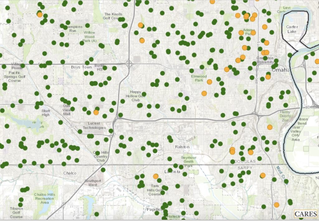
MAPChildcare Access
This map shows locations of Head Start facilities and child care centers. The data come from the Administration for Children & Families (ACF) and the Homeland Infrastructure Foundation-Level Data (HIFLD) database. The ACF is a division of the Department of Health & Human Services and works to promote the economic and social well-being of families, children, individuals and communities.
-
 TOOL REPORT
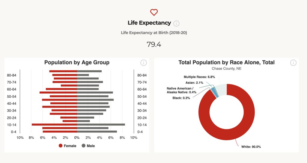
County Report Cards
The Nebraska County Report Cards provide population, income, workforce and other related data for every county in Nebraska. The Report Cards can be easily downloaded and shared.
-

-
MAP
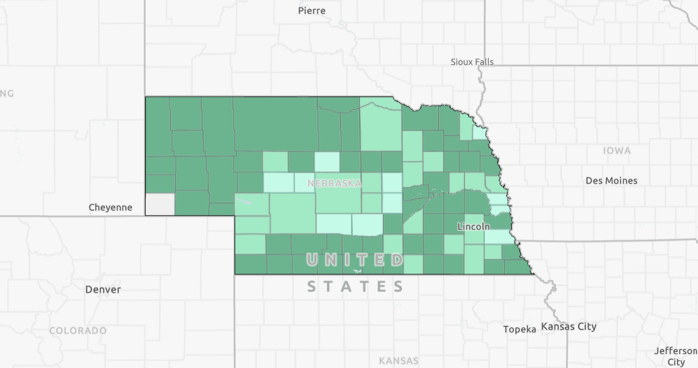
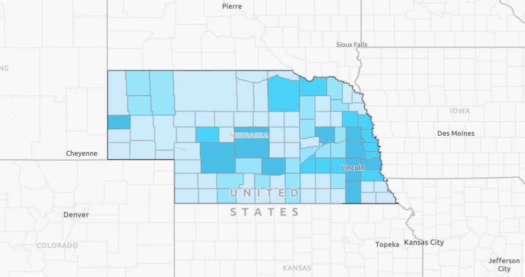
Nebraska 4-H % Reach by County, 2024
This county-level map displays the percentage of youth reached by 4H programs. The data for the map is sourced from 4H Online.
-
 MAP
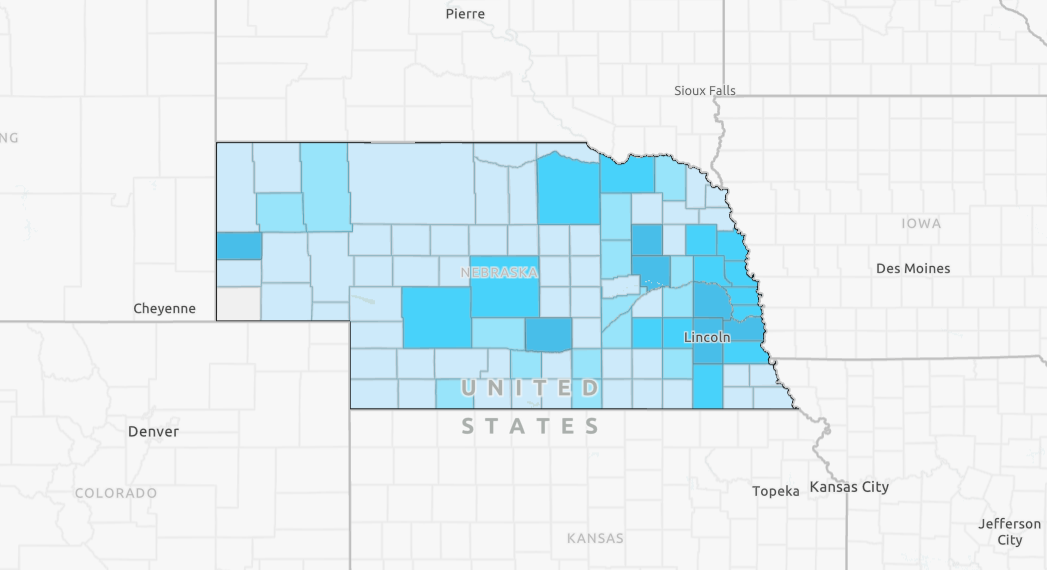
MAP4-H Youth Numbers by County, 2024
This layer displays the number of youth reached by 4H in Nebraska.
-
 MAP
MAPNebraska 4-H % Reach by County, 2023
This county-level map displays the percent of youth reached by 4H programs. The data for the map are sourced from 4H Online.
-
 MAP
MAP4-H Youth Engagement by County
This map displays the number of youth engaged in 4H clubs by county. Data for this map comes from 4H Online.
-
 MAP
MAPPer Pupil Expenditures
This map shows the per pupil expenditure for each school district in Nebraska. The data are sourced from the Nebraska Department of Education.
Category: 4-H Youth Development
All Things Nebraska resources related to the 4-H Youth Development program area in Nebraska Extension.