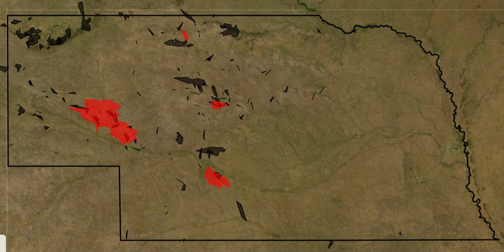
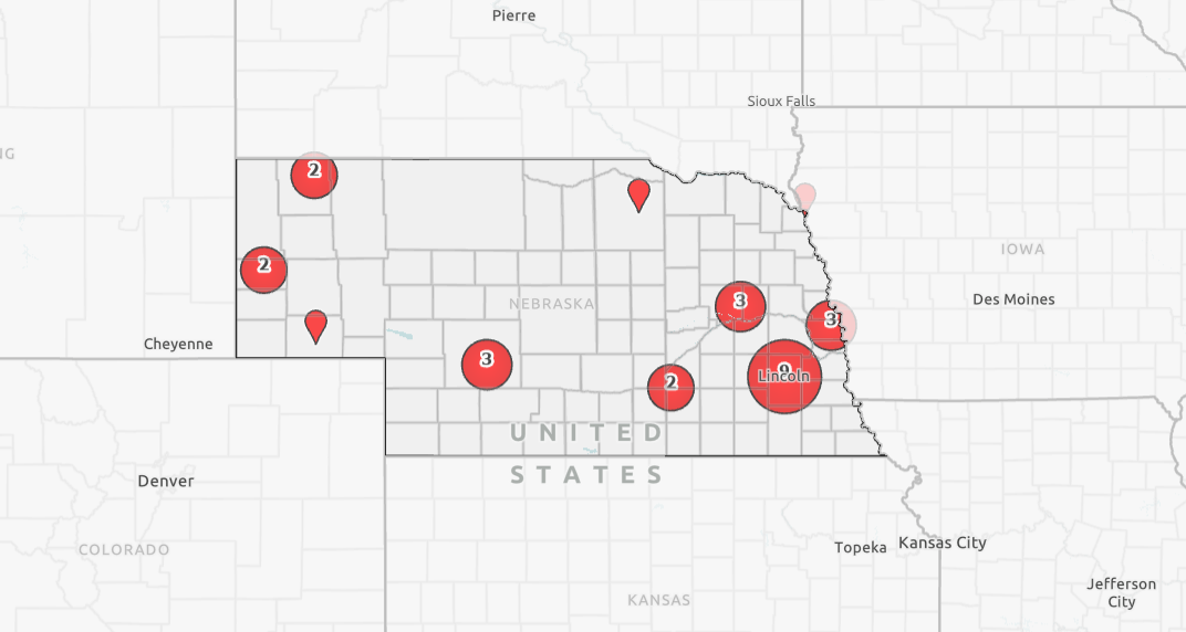
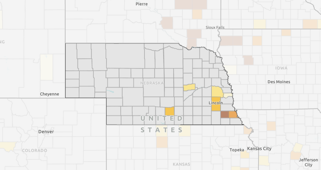
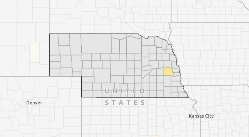
Maps
-
-
Nebraska Map Room
The Nebraska Map Room hosts more than 30,000 data layers from federal, state, and local sources.
in: 4-H Youth Development, Agricultural Profitability, College of Agricultural Sciences and Natural Resources, College of Architecture, College of Arts and Sciences, College of Business, College of Education and Human Sciences, College of Engineering, College of Journalism and Mass Communication, College of Law, Colleges, Disaster Education, Early Childhood, Entrepreneurship, Food, Nutrition & Health, Hixon-Lied College of Fine and Performing Arts, Horticulture, Landscape, and Environmental Systems, Livestock Systems, Program Areas, Rural Prosperity Nebraska, Water and Cropping Systems
-
Heat Exposure Map
This map shows the days per year with heat exposure of 90 degrees or higher by county or census tract.
-
Flood Insurance Payout Map
This map shows the flood insurance payout in dollars by county in Nebraska from 1980 through 2023.
-
-
Heat Wave Risk Map
This map shows the heat wave risk by county, as well as the community susceptibility by county. Counties with overlapping high community susceptibility and increased heat wave risk ratings have populations that are more inclined to suffer heat-related injuries.
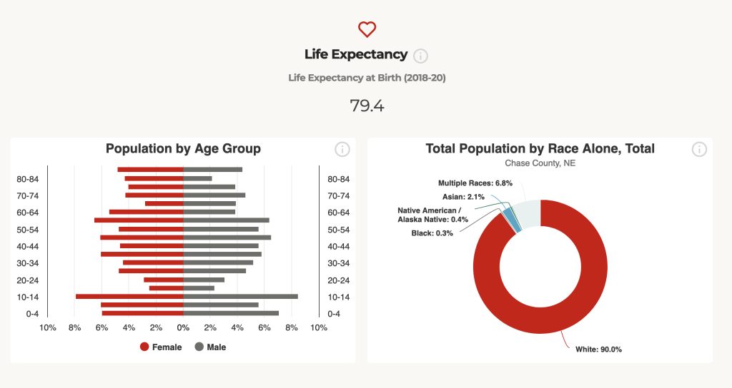
in: Disaster Education, Food, Nutrition & Health, Horticulture, Landscape, and Environmental Systems
-