-
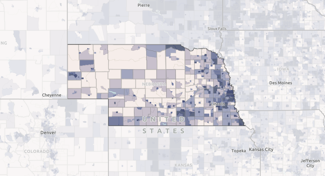
 MAP
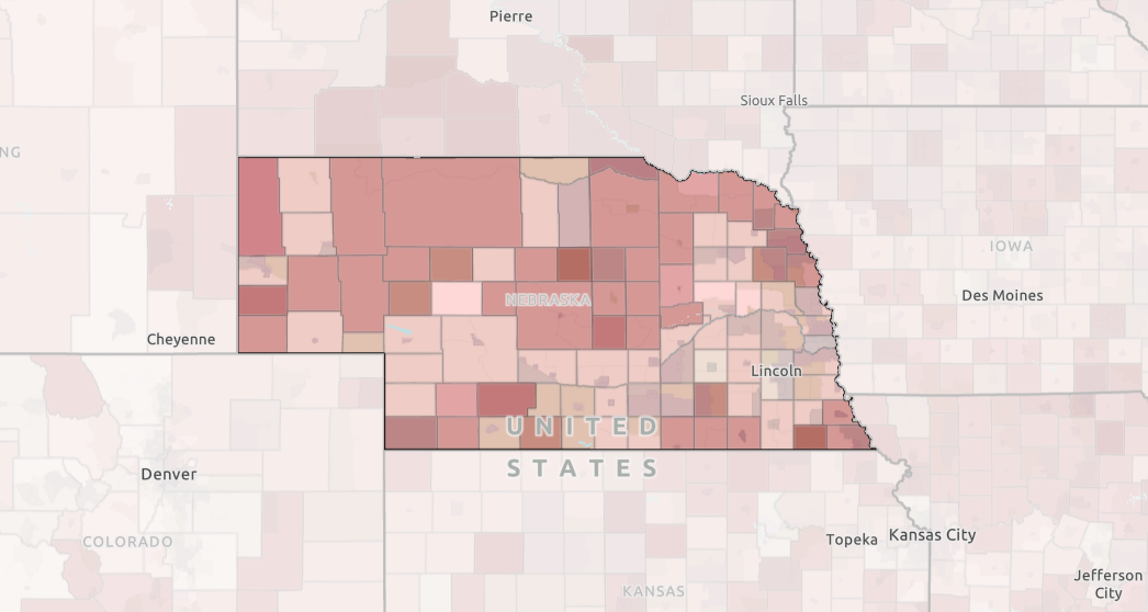
MAPHouseholds Reporting No Internet Access
This map shows households without access to the internet as reported by the American Community Survey.
-
 MAP
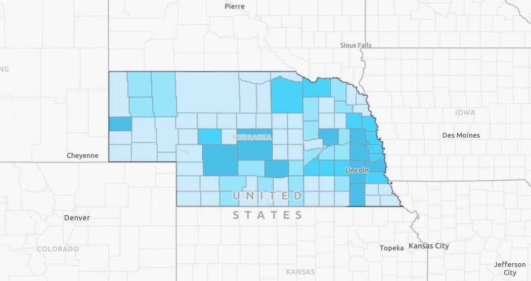
MAP4-H Youth Engagement by County
This map displays the number of youth engaged in 4H clubs by county. Data for this map comes from 4H Online.
-
 MAP
MAPBroadband Providers and Locations of Public Schools
This map shows broadband providers and locations of public schools.
-
 MAP
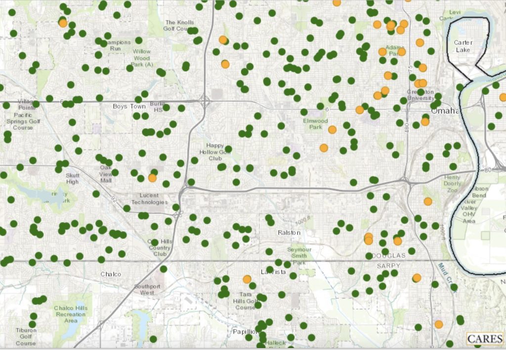
MAPChildcare Access
This map shows locations of Head Start facilities and child care centers. The data come from the Administration for Children & Families (ACF) and the Homeland Infrastructure Foundation-Level Data (HIFLD) database. The ACF is a division of the Department of Health & Human Services and works to promote the economic and social well-being of families, children, individuals and communities.
-
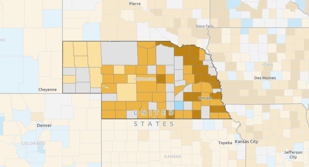
 MAP
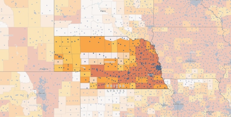
MAPNebraska 4-H % Reach by County, 2023
This county-level map displays the percent of youth reached by 4H programs. The data for the map are sourced from 4H Online.
-
 MAP
MAPAvailability of Fiber Internet and Availability of 100/20mbps Internet
This map shows where fiber internet is reported to be available by the FCC and where internet service at or greater than 100/20mbps is available.
-
 MAP
MAPCash Rents by Land Type
This map shows cash rent values by type of land. Land types include irrigated cropland, non-irrigated cropland, and pastureland. The data in this map come from the USDA National Agriculture Statistics Service (NASS).
-
 MAP
MAPPer Pupil Expenditures
This map shows the per pupil expenditure for each school district in Nebraska. The data are sourced from the Nebraska Department of Education.