-
 MAP
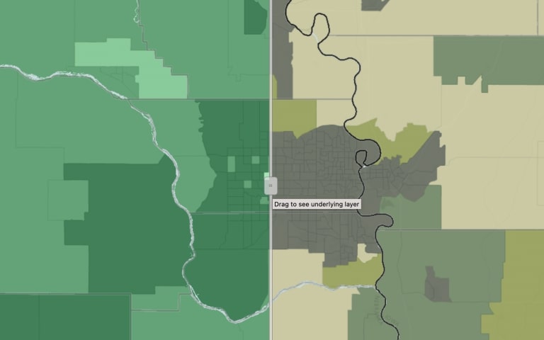
MAPCash Rents by Land Type
This map shows cash rent values by type of land. Land types include irrigated cropland, non-irrigated cropland, and pastureland. The data in this map come from the USDA National Agriculture Statistics Service (NASS).
-
 MAP
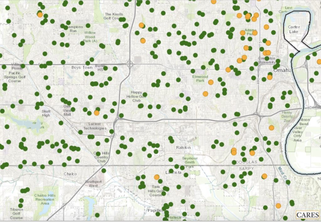
MAPChildcare Access
This map shows locations of Head Start facilities and child care centers. The data come from the Administration for Children & Families (ACF) and the Homeland Infrastructure Foundation-Level Data (HIFLD) database. The ACF is a division of the Department of Health & Human Services and works to promote the economic and social well-being of families, children, individuals and communities.
-
 MAP
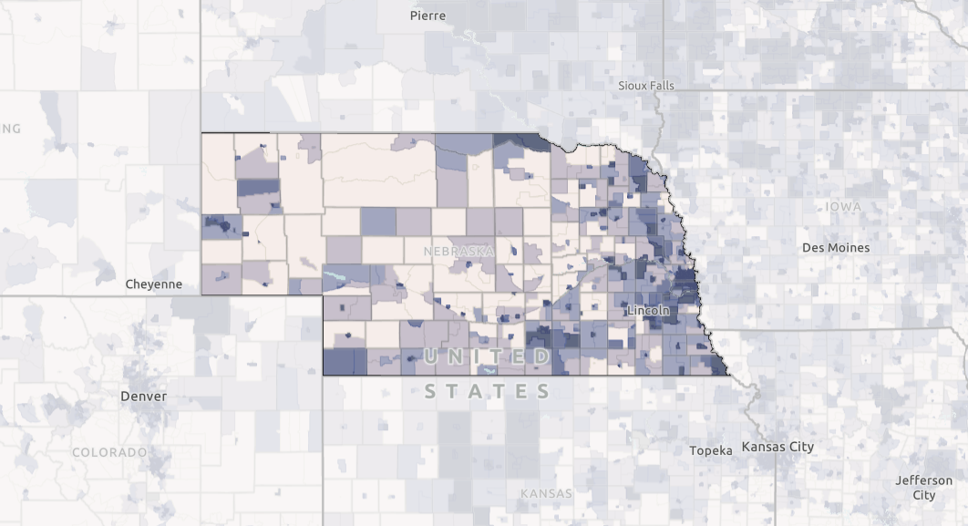
MAPAvailability of Fiber Internet and Availability of 100/20mbps Internet
This map shows where fiber internet is reported to be available by the FCC and where internet service at or greater than 100/20mbps is available.
-
 MAP
MAPBroadband Providers and Locations of Public Schools
This map shows broadband providers and locations of public schools.
-
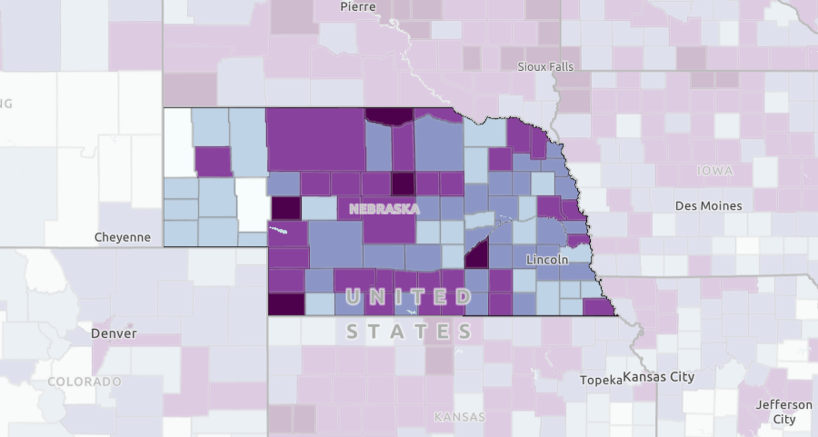
 MAP
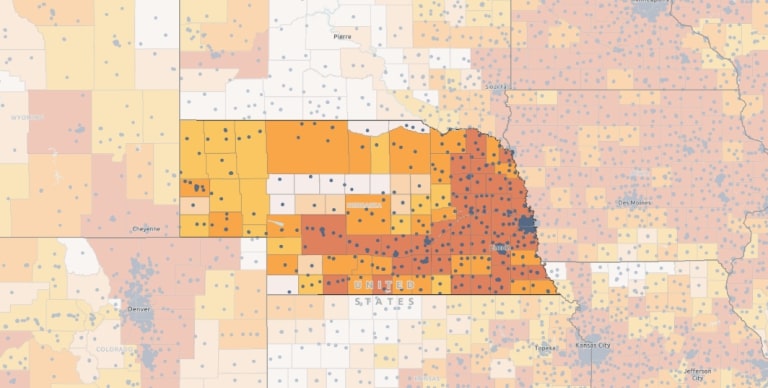
MAPHouseholds Reporting No Internet Access
This map shows households without access to the internet as reported by the American Community Survey.
-
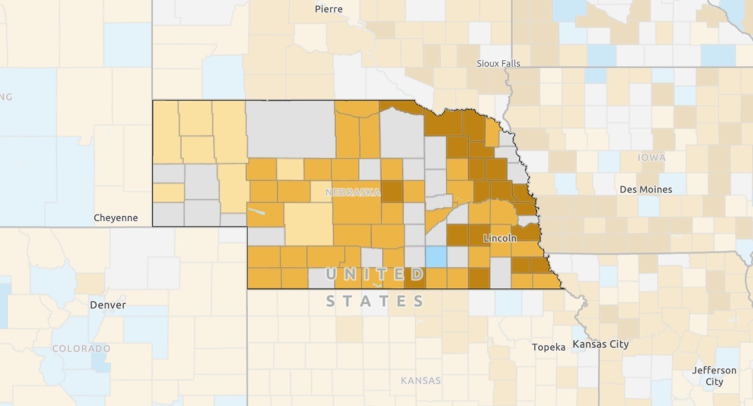
 MAP
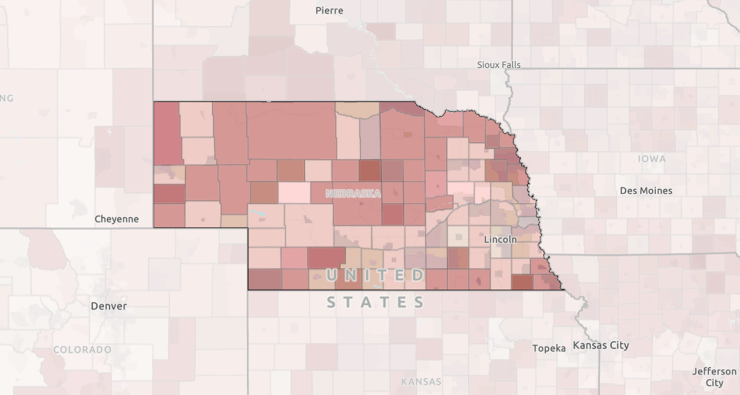
MAPBroadband Access
This map displays broadband access as reported by the American Community Survey and as reported by the Federal Communications Commission.
-
 TOOL REPORT
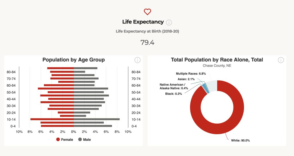
County Report Cards
The Nebraska County Report Cards provide population, income, workforce and other related data for every county in Nebraska. The Report Cards can be easily downloaded and shared.
-

Category: Program Areas