-
 MAP TOOL
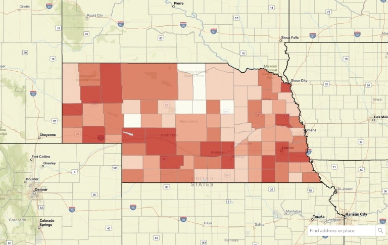
Nebraska Map Room
The Nebraska Map Room hosts more than 30,000 data layers from federal, state, and local sources.
-

-
 TOOL
TOOLNebraska Rural Poll
Explore the views of rural Nebraskans about issues such as well-being, civil discourse, artificial intelligence, housing, economy and trade, and their communities.
-
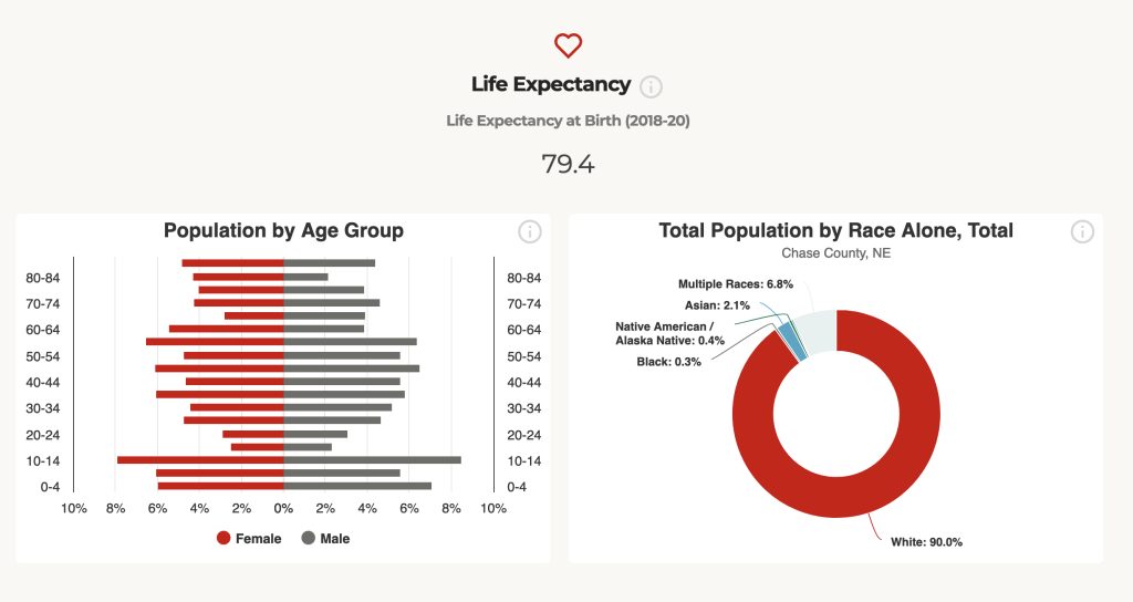
 TOOL REPORT
County Report Cards
The Nebraska County Report Cards provide population, income, workforce and other related data for every county in Nebraska. The Report Cards can be easily downloaded and shared.
-
 TOOL REPORT
Nebraska Housing Report
The Nebraska Housing Report provides housing cost, housing access, and market data for every county in Nebraska.
-
 TOOL
TOOLNebraska Market Maker
MarketMaker is a database featuring an extensive community of food-related businesses: buyers, farmers/ranchers, fisheries, farmers markets, processors/packers, wineries, restaurants and more.
-
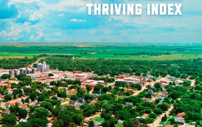
 TOOL
TOOLThriving Index
The Thriving Index allows Nebraska’s eight rural regions to see how they stack up to the Midwest in areas such as education and skill, growth and renewal, infrastructure, and quality of life.
-
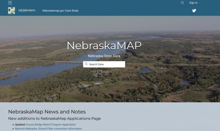
 TOOL
TOOLNebraskaMAP
This online mapping tool brings together data sets from state agencies and departments.