-

-
 TOOL REPORT
Nebraska Rural Poll Interactive Report
Utilize an interactive data report that reflects the results of the longest-running poll of rural life in the United States. Explore the views of rural Nebraskans about issues such as well-being, civil discourse, artificial intelligence, housing, economy and trade, and their communities. This report can be used to help local and state leaders better understand the needs, priorities, and viewpoints of Nebraska’s rural citizens.
-

-
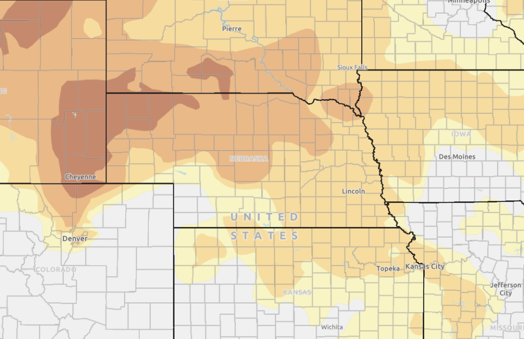
 TOOL
TOOLDrought Monitor
Explore Nebraska Counties in Severe or Worse Drought Classification with Maps from the UNL School of Natural Resources.